Hello Friends,
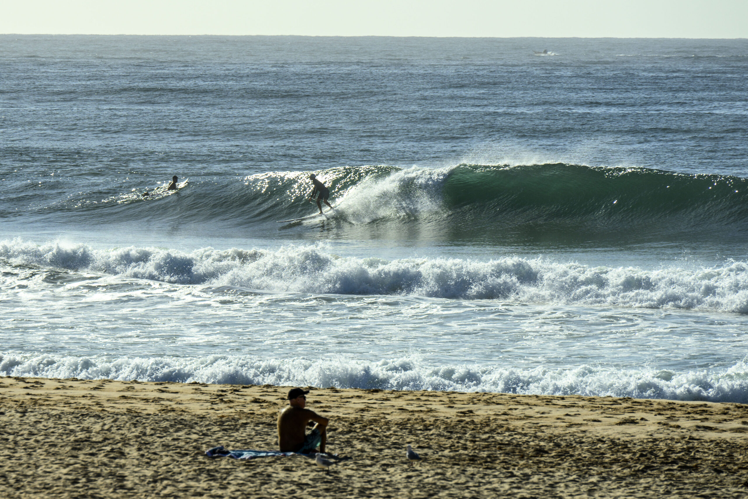
Jumped in for an exercise paddle after seeing Longy looking like the above (0900-ish). The wind was coming lightly from the north and the NE swell was 1.5 metres at sea with a period of 11 seconds. Tide was coming into the rather high high at 1040. After paddling out, I discovered that the tasty looking sets were few and far between. Plus the banks were not great, so even on the near high tide, shutdowns predominated. That said, the water is still a tropical 24, the skies were sunny and it was just good to be in the ocean. By the time I got out just around the time the tide was peaking, the wind was coming around to the NE and surface conditions were deteriorating noticeably from about the guard tower south.
It looks as though we might get a couple more mornings of fun-size waves before the southerly arrives on Friday and does a number on it for a couple of days…
Go well!
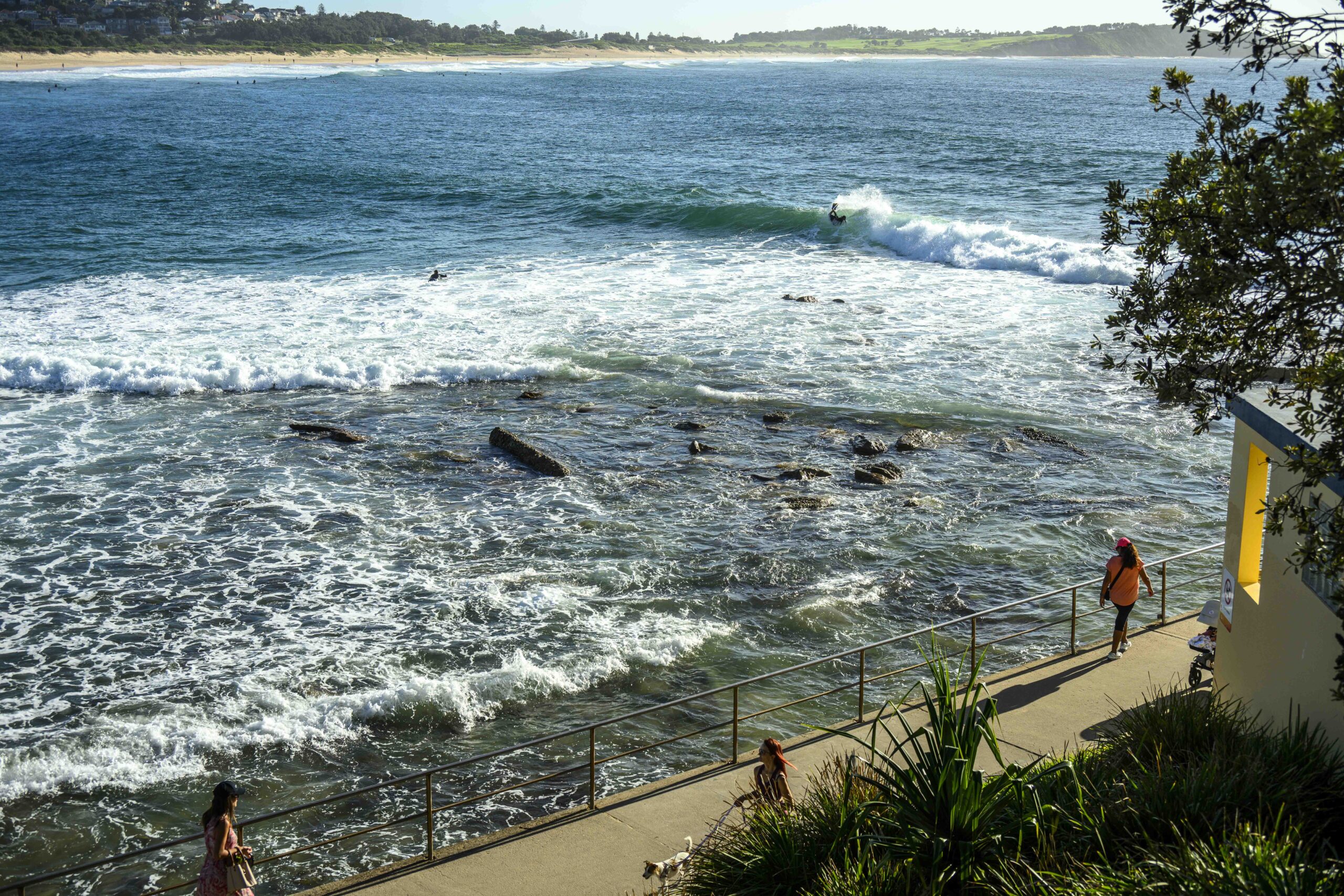
Meanwhile, at the other end of the beach…
A high pressure system in the Tasman Sea is slowly drifting east and weakening while extending a ridge to the north coast. A trough is forecast to move into the state’s south on Tuesday with a weak southerly wind change along the southern half of the coast before weakening. Then the trough is expected to strengthen and cross the central and northern coastal waters as a fresh southerly wind change between Thursday and Friday.
